 |
| Testing our new anchor light- visible for 250,000 miles (full moon over the OSPREY) |
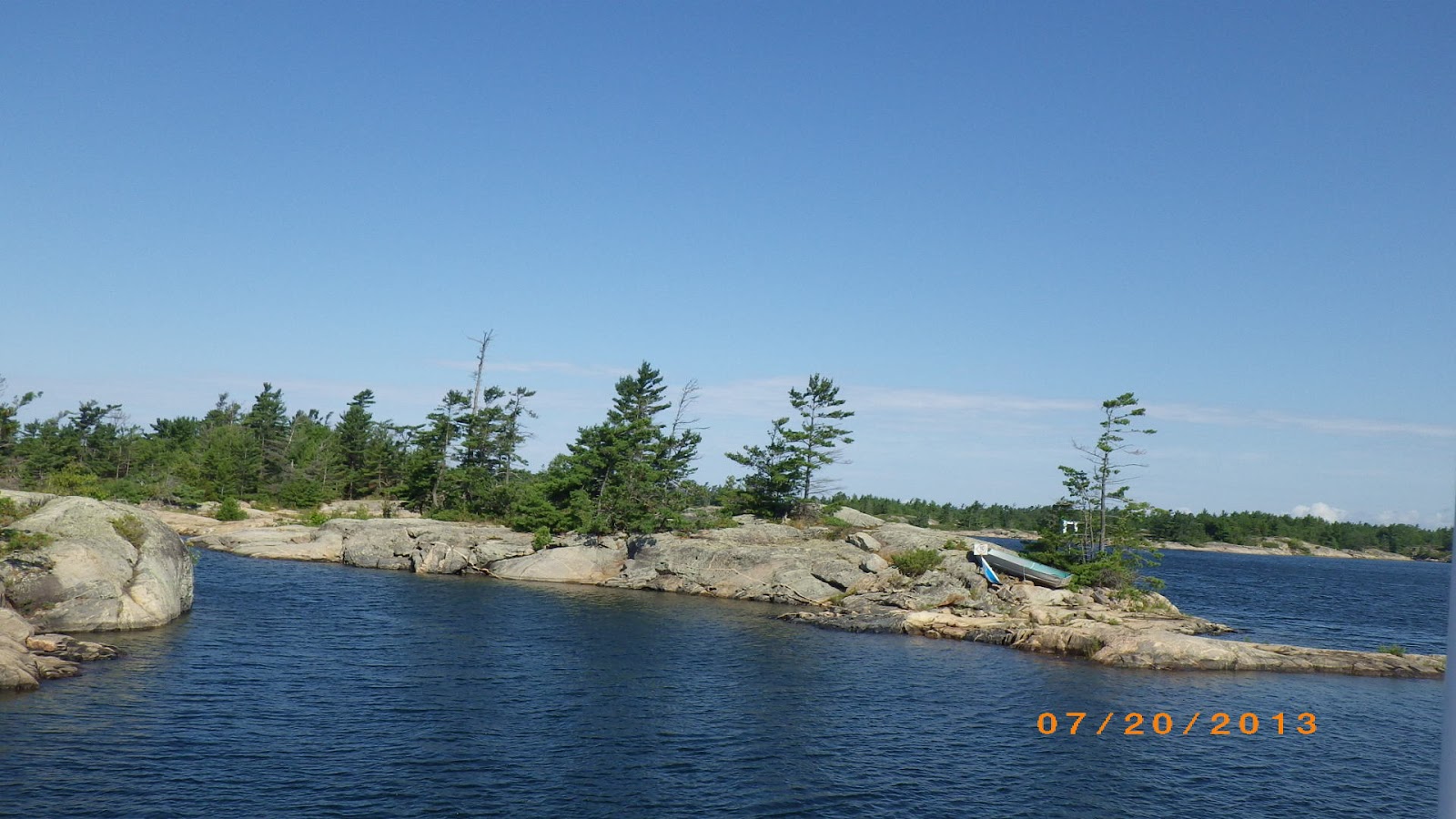
We are finding Georgian Bay to be all that we anticipated and more. The water is fantastic, it is crystal clear and a perfect temperature for swimming. Since the water is clearer than any other fresh water we have encountered so far on the trip, it is a bit unnerving to see the bottom even when we are in relatively deep water. Our boat draws almost exactly four feet, and for peace of mind we like to have at least two feet of clear water under the keel, which adds up to six feet of total water depth. In six feet of water you can see EVERYTHING on the bottom, a situation that is new to us, so we have been consulting the depth meter more frequently, just to be certain we are safe. The other considerable change for the transient boater is that the bottom, for the most part is no longer mud or sand, but solid rock. In Florida a grounding (when moving slowly through shallower waters) might be inconvenient but the soft bottom meant no damage to the boat, here, even at dead slow a grounding on this rock is going to take a chunk out of the hull.
 |
| Beautiful.....and rocky |
After leaving the Trent Severn Waterway we have spent several days at Beausoleil Island (a National Park), several more days at unnamed anchorages, and now two days at a marina in Parry Sound. For the most part we plan to follow the small craft channel, which is a charted path leading vessels that draw less than six feet (and generally less than 40 feet in length) through the maze of islands along the east and north coasts of Georgian Bay. Taking this route gives us a close up view of the spectacular area that claims to have 30,000 islands. The Canadian charting has proven to be very reliable, so we have deviated from the small craft channel on occasion to explore some less travelled places and it has been very rewarding.
 |
| Two crazy Canadians, Bob and Mary (aboard FORFAR), showing us how it is done..... |
We had heard that John and Kathy Sager (a physician that Patty has worked with over the years in ACH plus neighbors of ours on Neil Creek Road in Ashland) frequently visit an old family haunt on Georgian Bay, the Iron City Fishing Club, so once John sent us the GPS co-ordinates, off we went to track down ICFC and the Sagers. It was a lovely trip through a maze of small islands, islets, granite rocks, and little unmarked channels. Without a chartplotter and digital charts for the area, it would have been a fools errand, but with a blend of eyeball navigation, an occasional bow watch for boulders, and the chartplotter, we found the ICFC. We had a wonderful time visiting with Bill and Sue Sager (John's Dad), Laurel and Ben Sager (daughter and son of John and Kathy) plus John's sister Mary and family- her husband Dennis and their daughter Alice. Since, the legend goes, ICFC was founded by fishing aficionados from Pittsburgh in the 1880's, Patty had fun asking around to see who was still a resident of Pittsburgh (her place of residence through college). She found a few !!!

 |
| Bill and Sue Sager aboard OSPREY |
As we head north from here, the coastline will have fewer cottages, the man-made facilities less frequent, and from what we hear, the blueberries juicer. We are approximately one-third of the way through Georgian Bay, once we reach Killarney- which signals the end of our journey through Georgian Bay, about 80 miles distant- we enter The North Channel, another spectacular route of about 125 miles straight west towards Michigan. Our plan is to be in Charlevoix MI by August 15th, so that Patty can board a plane in Traverse City MI to join a mob of her cousins for a weekend reunion in Minneapolis.
 |
| A Georgian Bay Sunset |


No comments:
Post a Comment